Sylvan Lake, Alberta · Serving Alberta1-780-260-0366
AgroLink Aerialytics
SearchGet a quote

ABOUT AGROLINK

Built around the work.Based in Alberta.

From equipment selection to the field plan, AgroLink connects aircraft, people and practical support. We are based in Sylvan Lake and serve projects across Alberta, including Central Alberta, Red Deer and Slave Lake.

Talk to our team →

Meet Josh and Travis.

Josh and Travis each had their own drone business before they began working together through AgroLink.

Josh Eisan, Founder of AgroLink Aerialytics

Josh

Founder

Josh is the founder of AgroLink Aerialytics, bringing more than 25 years of experience in transportation, logistics and business operations across Northern Alberta. He began working alongside his father at sixteen, building practical experience in customer service, fleet management, contracts and company leadership.

That background shapes his approach to drones: choosing technology that makes field work safer, more efficient and easier to measure. His drone experience includes ERPAS, and he holds a Transport Canada Pilot Certificate – Level 1 Complex Operations. Josh also handles all of AgroLink’s data processing in-house.

Travis

VP of Operations

Travis is VP of Operations at AgroLink Aerialytics and the owner of BlueLink Drone Solutions, his own drone services business. He brings that background to his work with AgroLink and holds a Transport Canada Pilot Certificate – Level 1 Complex Operations.

Company-owned capability

Our fleet.
Configured by mission.

AgroLink operates a deliberately mixed fleet of agriculture, enterprise, thermal, mapping, and multispectral platforms. Aircraft and payloads are selected around the required outcome, site, accuracy, crew, and operating authorization.

Availability remains subject to maintenance status, weather, airspace, crew, and project-specific authorization.
THERMAL PAYLOADS · 2

DJI Zenmuse H20T

Night forestry thermal work, wildfire hotspot observation, utilities, industrial inspection, wildlife, and search support.

MAPPING PAYLOADS · 2

DJI Zenmuse P1

High-resolution orthomosaics, digital twins, 2D and 3D models, corridor capture, and repeatable site documentation.

DJI Mavic 3 Multispectral aircraft
MULTISPECTRAL AIRCRAFT · 1

DJI Mavic 3 Multispectral

RGB and multispectral crop-health surveys, scouting priorities, prescription-map support, and farm digital-twin updates.

DJI Mavic 3 Thermal aircraft
THERMAL AIRCRAFT · 1

DJI Mavic 3 Thermal

Rapid thermal inspection, forestry and wildlife observation, search support, facility scans, and field reconnaissance.

DJI Mavic 3 Enterprise aircraft
MAPPING AIRCRAFT · 1

DJI Mavic 3 Enterprise

Orthomosaics, progress capture, stockpile measurement, site records, and efficient small-area mapping.

DJI Matrice 4T aircraft
THERMAL AIRCRAFT · 1

DJI Matrice 4T

Thermal and low-light inspection, public-safety support, environmental response, and fast complex-site deployment.

DJI AGRAS T25P aircraft
COMING SOON TO OUR FLEET

DJI AGRAS T25P

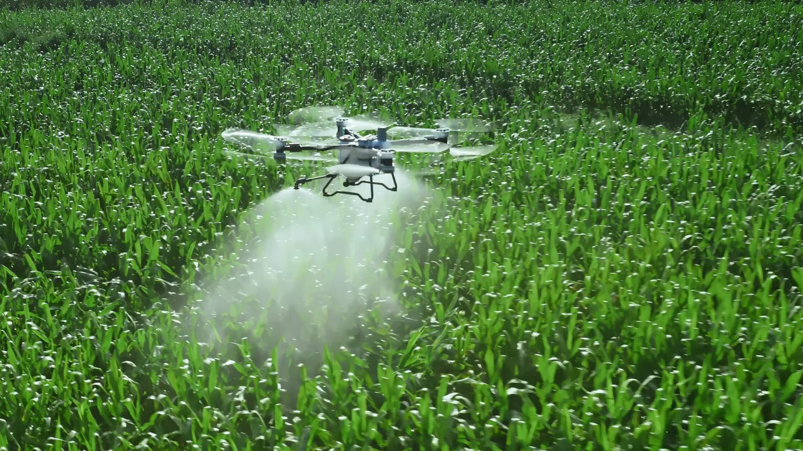
A compact, transportable agriculture platform planned for flexible precision spraying, spreading, mapping, and solo field operations.

Official DJI details →
DJI AGRAS T70P aircraft
COMING SOON TO OUR FLEET

DJI AGRAS T70P

A high-capacity agriculture platform planned for efficient spraying, spreading, lifting, and demanding commercial field operations.

Official DJI details →
Complex mission capability

Built for the work
most operators avoid.

AgroLink is developing a custom-systems practice for government, forestry, industrial, remote-logistics, and emerging-technology missions where the aircraft, payload, communications, data, and operating plan must work as one system.

Night forestry thermal operations

Nighttime thermal data acquisition for hotspot detection, wildfire overwatch, wildlife observation, search support, and forest-condition intelligence—planned around visibility, terrain, communications, airspace, and crew risk.

Custom mission systems

Aircraft, thermal and mapping payloads, positioning, communications, charging, software, field logistics, and deliverables configured around the mission instead of a generic package.

Complex operations team

Josh and Travis each hold a Transport Canada Pilot Certificate – Level 1 Complex Operations. Every complex project remains subject to the required RPOC, aircraft declaration, operating conditions, and authorizations.

Our field technology and software

Preferred field stack

Hardware and software
we know and trust.

We select the stack to fit the mission, data requirement, terrain, and authorization—not the other way around. Availability and final configuration are confirmed during project planning.

PROCESSING + GIS

Models, maps & deliverables

  • DJI Terra ↗
  • Pix4D photogrammetry and mapping ↗
  • QGIS and ArcGIS Pro geospatial analysis
  • Orthomosaics, surface models, measurements, and inspection outputs
  • KML, KMZ, GeoJSON, and client-ready map packages
  • Workflow selected to match accuracy and delivery requirements